Translations:Marble/MapThemes/24/da: Difference between revisions
(Importing a new version from external source) |
(Importing a new version from external source) |
||
| Line 1: | Line 1: | ||
{|class="vertical-centered wikitable" style="border: 1px solid grey;" | {|class="vertical-centered wikitable" style="border: 1px solid grey;" | ||
! width="100px" | Kortvisning || Eksempel || Beskrivelse|- | ! width="100px" | Kortvisning || Eksempel || Beskrivelse | ||
|- | |||
| Historisk kort 1689 | | Historisk kort 1689 | ||
| [[Image:Marble-MapTheme-HistoricalMap1689.png]] || Et historisk verdenskort fra 1689 skabt af G. van Schagen i Amsterdam. | | [[Image:Marble-MapTheme-HistoricalMap1689.png]] || Et historisk verdenskort fra 1689 skabt af G. van Schagen i Amsterdam. | ||
Latest revision as of 07:33, 17 May 2011
| Kortvisning | Eksempel | Beskrivelse |
|---|---|---|
| Historisk kort 1689 | 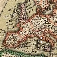 |
Et historisk verdenskort fra 1689 skabt af G. van Schagen i Amsterdam. |
| Historisk kort 1720 | 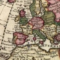 |
Et historisk verdenskort fra 1720 skabt af Guillaume de L'Isle i Paris. |
| Historisk kort 1786 | 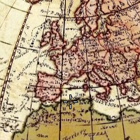 |
Et historisk verdenskort fra 1786 skabt af William Faden i London. |
| Nedbør (måned) | 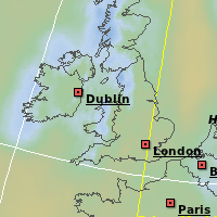 |
Farver angiver nedbøren i den givne måned. Åbn fanebladet for at finde ud af hvilke farver, der svarer til hvilken nedbør. |
| Temperatur (måned) | 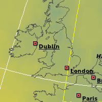 |
Farver angiver månedens gennemsnitstemperatur. Åbn fanebladet for at finde ud af hvilke farver, der svarer til hvilken temperatur. |
