Translations:Marble/MapThemes/24/uk: Difference between revisions

From KDE UserBase Wiki
(Created page with "{|class="vertical-centered wikitable" style="border: 1px solid grey;" ! width="100px" | Тема карти || Зразок || Опис |- | Давня карта 1689 рок...")
 
(No difference)

Latest revision as of 11:50, 17 May 2011

Information about message (contribute)
This message has no documentation. If you know where or how this message is used, you can help other translators by adding documentation to this message.
Message definition (Marble/MapThemes)
{|class="vertical-centered wikitable" style="border: 1px solid grey;"
! width="100px" | Map Theme || Preview || Description
|-
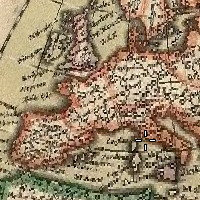
| Historical Map 1689
| [[Image:Marble-MapTheme-HistoricalMap1689.png]] || A historical world map from the year 1689 created by G. van Schagen in Amsterdam.
|-
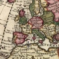
| Historical Map 1720
| [[Image:Marble-MapTheme-HistoricalMap1720.png]] || A historical world map from the year 1720 created by Guillaume de L'Isle in Paris.
|-
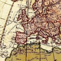
| Historical Map 1786
| [[Image:Marble-MapTheme-HistoricalMap1786.png]] || A historical world map from the year 1786 created by William Faden in London.
|-
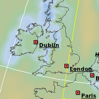
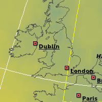
| Precipitation (month)
| [[Image:Marble-MapTheme-Precipitation.png]] || Colors indicate the [http://en.wikipedia.org/wiki/Precipitation_(meteorology) precipitation] in the given month. Open the <menuchoice>Legend</menuchoice> tab to find out which color matches which precipitation. 
|-
| Temperature (month)
| [[Image:Marble-MapTheme-Temperature.png]] || Colors indicate the average temperature in the given month. Open the <menuchoice>Legend</menuchoice> tab to find out which color matches which temperature.
|-
|}
Тема карти Зразок Опис
Давня карта 1689 року Давня карта від 1689 року, створена Г. ван-Шагеном у Амстердамі.
Давня карта 1720 року Давня карта світу від 1720 року, створена Гійомом Делілем у Парижі.
Давня карта 1786 року Давня карта світу від 1786 року Вільямом Фаденом у Лондоні.
Опади (місяць) Кольори позначають рівень опадів у вказаному місяці. З відповідністю кольорів рівню опадів можна ознайомитися за допомогою вкладки Умовні позначення.
Температура (місяць) Кольори позначають середній рівень температури вказаного місяця. З відповідністю кольорів температурі можна ознайомитися за допомогою вкладки Умовні позначення.