KGeography/de: Difference between revisions
Appearance
Created page with "{{EduBreadCrumbs}}" |
No edit summary |
||
| Line 1: | Line 1: | ||
<languages /> | <languages /> | ||
{{EduBreadCrumbs}} | {{EduBreadCrumbs/de}} | ||
{|class="tablecenter vertical-centered" | {|class="tablecenter vertical-centered" | ||
Revision as of 15:20, 25 July 2020
Startseite » Anwendungen » Bildung » [[Special:myLanguage/{{{1}}}|{{{1}}}]]

|
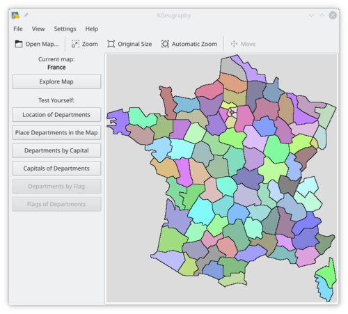
KGeography is a geography learning tool, which allows you to learn about the political divisions of some countries (divisions, capitals of those divisions and their associated flags if there are some). It is part of the KDE Education Project. |

Features
- Learning by browsing the maps clicking in a map division to see its name, capital and flag
- Learning in game modes:
- The game tells you a map division name and you have to click on it
- The game tells you a capital and you have to guess the division it belongs to
- The game tells you a division and you have to guess its capital
- The game shows you a map division flag and you have to guess its name
- The game tells you a map division name and you have to guess its flag
- The game shows an empty map and you have to place divisions on it one by one
Documentation
- KGeography Handbook
- HowTo contribute with new maps
- Tutorial: How to add maps in PDF format and ODP format
