Marble/MapThemes/uk: Difference between revisions
Created page with "{|class="vertical-centered wikitable" style="border: 1px solid grey;"
! width="100px" | Тема карт || Приклад || Опис
|-
| Атлас
| [[Image:Marble-MapTh..." |
Created page with "=== Карти з дорожньою сіткою ===" |
||
| Line 68: | Line 68: | ||
|} | |} | ||
=== | === Карти з дорожньою сіткою === | ||
These maps are optimized for high zoom levels, showing many details on the street and city level. Some of them provide good country and even continent or space views, but that's not their primary area of use. Need to find a route? Do you like hiking or biking? Want to explore the neighborhood? Pick one of these maps. | These maps are optimized for high zoom levels, showing many details on the street and city level. Some of them provide good country and even continent or space views, but that's not their primary area of use. Need to find a route? Do you like hiking or biking? Want to explore the neighborhood? Pick one of these maps. | ||
Revision as of 10:24, 17 May 2011
- ← Стеження за розташуванням
- Marble/MapThemes/uk
- Закладки →
Однією з основних можливостей Marble є можливість змінювати карти Землі (теми карт у термінології Marble) та переглядати карти інших планет. Кожну з карт можна переглядати у різних проекціях: надати карт вигляд глобуса використанням сферичної проекції або переглянути карту у звичайній плоскій проекції Меркатора.
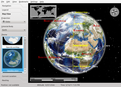
Налаштувати теми карти можна за допомогою діалогової панелі Marble. Відкрити цю панель можна за допомогою бічної вкладки, розташованої ліворуч у вікні версії програми для звичайних комп’ютерів.
У мобільній версії Marble для Nokia N900 вікно налаштування можна за допомогою головного меню програми.
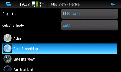
За допомогою діалогового вікна ви зможете вибрати проекцію, планету (небесне тіло) та тему карти. Решту цього підручника присвячено опису варіантів, якими можна скористатися.
Варіанти планет
У Marble передбачено підтримку близько десятка різних планет. За допомогою діалогового вікна ви можете вибрати одну з цих планет, для кожної з яких встановлено принаймні одну тему карти.
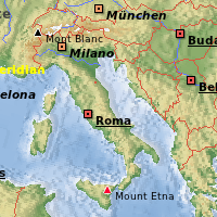
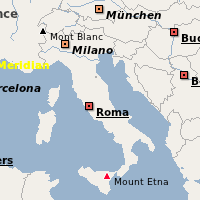
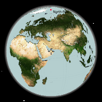 Земля. Можна скористатися однією з багатьох тем. |
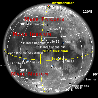 Місяць. Так, ми знаємо, що це не планета. |
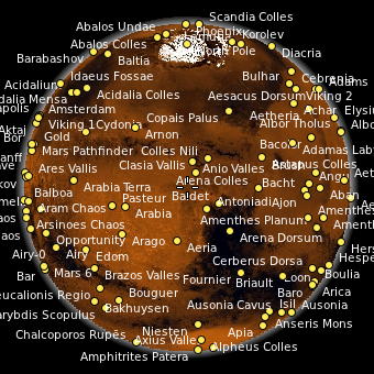 Марс |
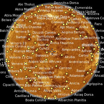 Венера |
Варіанти проекцій
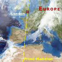
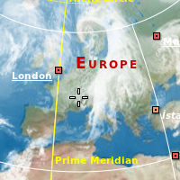
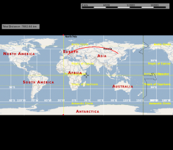
Проекція визначає спосіб показу поверхні планети на екрані. Поверхню може бути показано у форматі глобуса або у одному з форматів плоскої карти.
| Сферична проекція | Проекція плоскої карти | Проекція Меркатора | |
|---|---|---|---|
| Приклад | 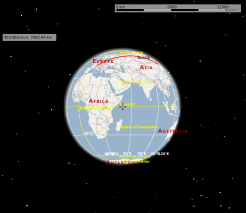 |
 |
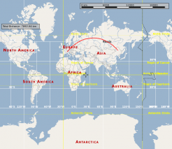 |
| Типове використання | Віддалений перегляд, вимірювання великих відстаней | Віддалений перегляд | Перегляд зблизька, навігація |
Варіанти тем карт
Карти загального плану
Карти з дорожньою сіткою
These maps are optimized for high zoom levels, showing many details on the street and city level. Some of them provide good country and even continent or space views, but that's not their primary area of use. Need to find a route? Do you like hiking or biking? Want to explore the neighborhood? Pick one of these maps.
| Map Theme | Preview | Description |
|---|---|---|
OpenStreetMap General purpose |
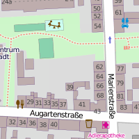 |
The famous OpenStreetMap Mapnik layer. A general purpose map with useful information for the most common use cases. The map is identical to that shown on openstreetmap.org. Combine this map theme with the Mercator projection for optimal speed and a sharp map view. |
Osmarender General purpose |
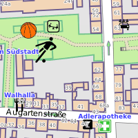 |
The OpenStreetMap Osmarender layer. A general purpose map with useful information for the most common use cases. The map is identical to that selectable in the top-right toolbox on openstreetmap.org. Compared to the Mapnik layer (OpenStreetMap theme), this theme has more lively colors and presents some different data. The view from space looks better than that of Mapnik. On the other hand, Mapnik handles conflicting elements at the street level better. In Osmarender, icon sizes are less balanced and the z-order (stacking) is wrong for some elements. Labels overlap in densely packed areas. Combine this map theme with the Mercator projection for optimal speed and a sharp map view. |
OpenCycleMap For bikers |
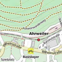 |
OpenStreetMap data presented for bikers. The map is identical to that selectable in the top-right toolbox on openstreetmap.org. Combine this map theme with the Mercator projection for optimal speed and a sharp map view. |
OSM Hike & Bike Map For hikers and bikers |
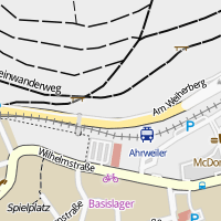 |
A map theme optimized for hiking and biking, based on OpenStreetMap data. Includes a very nice hillshading layer that shows the terrain (activate it in the tab). Combine this map theme with the Mercator projection for optimal speed and a sharp map view. |
Educational Maps
| Map Theme | Preview | Description |
|---|---|---|
| Historical Map 1689 | 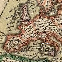 |
A historical world map from the year 1689 created by G. van Schagen in Amsterdam. |
| Historical Map 1720 | 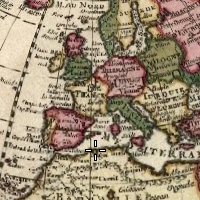 |
A historical world map from the year 1720 created by Guillaume de L'Isle in Paris. |
| Historical Map 1786 | 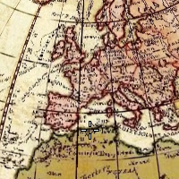 |
A historical world map from the year 1786 created by William Faden in London. |
| Precipitation (month) | 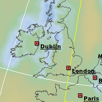 |
Colors indicate the precipitation in the given month. Open the tab to find out which color matches which precipitation. |
| Temperature (month) | 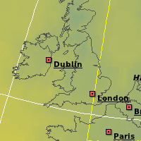 |
Colors indicate the average temperature in the given month. Open the tab to find out which color matches which temperature. |
Restricted Maps
These map themes work fine in Marble from a technical point of view. The terms of service of the companies offering these maps, however, may prevent you from using it. If you want to use these map themes, you must install them manually. Make sure their terms of service allow you to use them within Marble.
| Map Theme | Preview | Description |
|---|---|---|
| Google Maps | 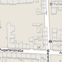 |
Street maps from maps.google.com |
| Google Satellite | 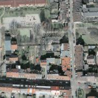 |
Satellite maps from maps.google.com |
| Mapquest | 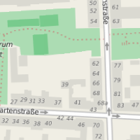 |
Street maps from mapquest.com |
| Virtual Earth | 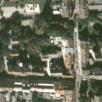 |
Satellite maps from virtualearth.net |
Installing Additional Map Themes
| Map Theme | Linux (KDE) | Mac, Windows | Maemo (N900) |
|---|---|---|---|
| Atlas | Packaged | Packaged | Marble Maps package |
| Earth at Night | Packaged | Packaged | Marble Maps package |
| Google Maps | Manual installation | Manual installation | Manual installation |
| Google Satellite | Manual installation | Manual installation | Manual installation |
| Historical Map 1689 | Download Maps feature | Manual installation | Marble Maps package |
| Historical Map 1720 | Download Maps feature | Manual installation | Manual installation |
| Historical Map 1786 | Download Maps feature | Manual installation | Manual installation |
| Mapquest | Manual installation | Manual installation | Manual installation |
| Natural Earth | Download Maps feature | Manual installation | Manual installation |
| OpenStreetMap | Packaged | Packaged | Packaged |
| Osmarender | Download Maps feature | Manual installation | Marble Maps package |
| Open CycleMap | Download Maps feature | Manual installation | Manual installation Marble 1.2 and later: Marble Maps package |
| OSM Hike & Bike Map | Download Maps feature | Manual installation | Marble Maps package |
| Plain Map | Packaged | Packaged | Marble Maps package |
| Precipitation | Packaged | Packaged | Marble Maps package |
| Satellite View | Packaged | Packaged | Marble Maps package |
| Temperature | Packaged | Packaged | Marble Maps package |
| Virtual Earth | Manual installation | Manual installation | Manual installation |
Legend
| Term | Description |
|---|---|
| Marble Maps package | Please install the Marble Maps package from the extras repository (the same where you installed Marble - Virtual Globe from). See Maemo Installation (Nokia N900 only). |
| Download Maps feature | Please use the Download Maps feature in Marble from the File menu (KDE only). |
| Manual installation | Please follow the link (if any) and install the map theme manually. |
- ← Tracking
- Marble/MapThemes/uk
- Bookmarks →


