Marble/MapThemes/da: Difference between revisions
Importing a new version from external source |
Importing a new version from external source |
||
| Line 72: | Line 72: | ||
{|class="vertical-centered wikitable" style="border: 1px solid grey;" | {|class="vertical-centered wikitable" style="border: 1px solid grey;" | ||
! width="100px" | | ! width="100px" | Korttema || Eksempel || Beskrivelse | ||
|- | |- | ||
! <p>OpenStreetMap</p><p>General purpose</p> | ! <p>OpenStreetMap</p><p>General purpose</p> | ||
Revision as of 07:21, 17 May 2011
- ← Sporing
- Marble/MapThemes/da
- Bogmærker →
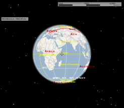
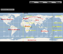
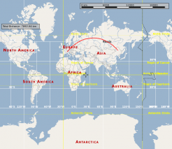
En af Marbles kernefunktioner er understøttelse af forskellige kort (korttemaer i Marbles terminologi) og forskellige planeter. Hvert af disse kan ses i forskellige projektioner: Få planeten til at ligne en globus eller se det som et trykt kort ved at vælge en passende projektion.
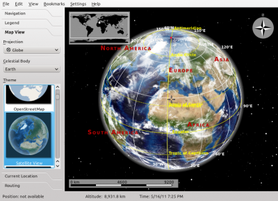
Korttemaer indstilles i Marbles dialog . I skrivebordsversionen findes den et faneblad i panelet til venstre.
I den mobile version af Marble til Nokia N900 finder du dialogen via programmets hovedmenu.
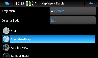
Dialogen lader dig vælge en projektion, hvilken planet (himmellegeme) du vil se og et korttema. Resten af denne vejledning forklarer disse valgmulighedre i detalje.
Valg af planet
Marble understøtter omkring et dusin forskellige planeter. I dialogen kan du vælge blandt de planeter, som der er mindst ét kort installeret til.
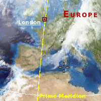
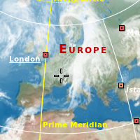
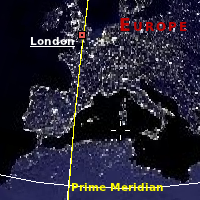
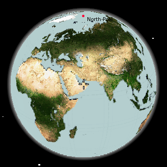 Jorden. Der findes mange forskellige korttemaer. |
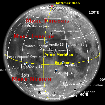 Månen. Vi ved godt, at den egentlig ikke er en planet. |
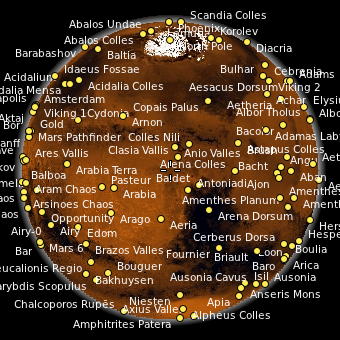 Mars |
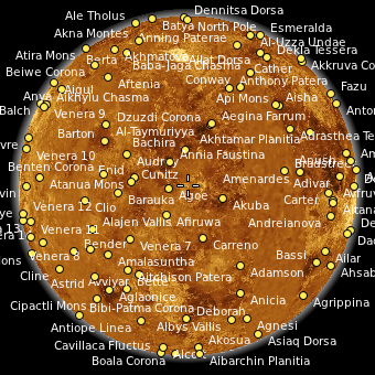 Venus |
Valg af projektion
Projektionen definerer, hvordan planetens overflade præsenteres på skærmen. Den kan vises osm en globus eller som en slags fladt kort.
Valg af korttema
Oversigtskort
Vejkort
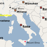
Disse kort er optimerede til høje zoomniveauer og viser mange detaljer om byer og veje. Nogle af dem giver gode visninger af lande og selv kontinenter eller hele kloden set fra rummet, men det er ikke det, de primært er beregnet til. Skal du finde vej? Holder du af cykel- eller vandreture? Vil du udforske omgivelserne? Så vælg et af disse kort.
| Korttema | Eksempel | Beskrivelse |
|---|---|---|
OpenStreetMap General purpose |
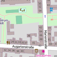 |
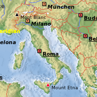
The famous OpenStreetMap Mapnik layer. A general purpose map with useful information for the most common use cases. The map is identical to that shown on openstreetmap.org. Combine this map theme with the Mercator projection for optimal speed and a sharp map view. |
Osmarender General purpose |
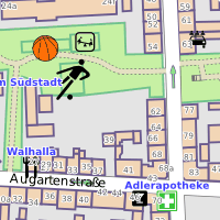 |
The OpenStreetMap Osmarender layer. A general purpose map with useful information for the most common use cases. The map is identical to that selectable in the top-right toolbox on openstreetmap.org. Compared to the Mapnik layer (OpenStreetMap theme), this theme has more lively colors and presents some different data. The view from space looks better than that of Mapnik. On the other hand, Mapnik handles conflicting elements at the street level better. In Osmarender, icon sizes are less balanced and the z-order (stacking) is wrong for some elements. Labels overlap in densely packed areas. Combine this map theme with the Mercator projection for optimal speed and a sharp map view. |
OpenCycleMap For bikers |
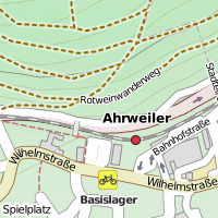 |
OpenStreetMap data presented for bikers. The map is identical to that selectable in the top-right toolbox on openstreetmap.org. Combine this map theme with the Mercator projection for optimal speed and a sharp map view. |
OSM Hike & Bike Map For hikers and bikers |
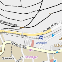 |
A map theme optimized for hiking and biking, based on OpenStreetMap data. Includes a very nice hillshading layer that shows the terrain (activate it in the Legend). Combine this map theme with the Mercator projection for optimal speed and a sharp map view. |
Educational Maps
| Map Theme | Preview | Description |
|---|---|---|
| Historical Map 1689 | 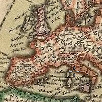 |
A historical world map from the year 1689 created by G. van Schagen in Amsterdam. |
| Historical Map 1720 | 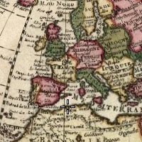 |
A historical world map from the year 1720 created by Guillaume de L'Isle in Paris. |
| Historical Map 1786 | 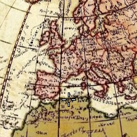 |
A historical world map from the year 1786 created by William Faden in London. |
| Precipitation (month) | 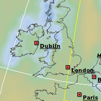 |
Colors indicate the precipitation in the given month. Open the Legend to find out which color matches which precipitation. |
| Temperature (month) | 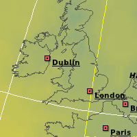 |
Colors indicate the average temperature in the given month. Open the Legend to find out which color matches which temperature. |
Restricted Maps
These map themes work fine in Marble from a technical point of view. The terms of service of the companies offering these maps, however, may prevent you from using it. If you want to use these map themes, you must install them manually. Make sure their terms of service allow you to use them within Marble.
| Map Theme | Preview | Description |
|---|---|---|
| Google Maps | 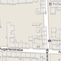 |
Street maps from maps.google.com |
| Google Satellite | 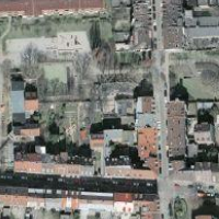 |
Satellite maps from maps.google.com |
| Mapquest | 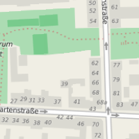 |
Street maps from mapquest.com |
| Virtual Earth | 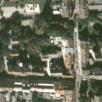 |
Satellite maps from virtualearth.net |
Installing Additional Map Themes
| Map Theme | Linux (KDE) | Mac, Windows | Maemo (N900) |
|---|---|---|---|
| Atlas | Packaged | Packaged | Marble Maps package |
| Earth at Night | Packaged | Packaged | Marble Maps package |
| Google Maps | Manual installation | Manual installation | Manual installation |
| Google Satellite | Manual installation | Manual installation | Manual installation |
| Historical Map 1689 | Download Maps feature | Manual installation | Marble Maps package |
| Historical Map 1720 | Download Maps feature | Manual installation | Manual installation |
| Historical Map 1786 | Download Maps feature | Manual installation | Manual installation |
| Mapquest | Manual installation | Manual installation | Manual installation |
| Natural Earth | Download Maps feature | Manual installation | Manual installation |
| OpenStreetMap | Packaged | Packaged | Packaged |
| Osmarender | Download Maps feature | Manual installation | Marble Maps package |
| Open CycleMap | Download Maps feature | Manual installation | Manual installation Marble 1.2 and later: Marble Maps package |
| OSM Hike & Bike Map | Download Maps feature | Manual installation | Marble Maps package |
| Plain Map | Packaged | Packaged | Marble Maps package |
| Precipitation | Packaged | Packaged | Marble Maps package |
| Satellite View | Packaged | Packaged | Marble Maps package |
| Temperature | Packaged | Packaged | Marble Maps package |
| Virtual Earth | Manual installation | Manual installation | Manual installation |
Legend
| Term | Description |
|---|---|
| Marble Maps package | Please install the Marble Maps package from the extras repository (the same where you installed Marble - Virtual Globe from. See Maemo Installation (Nokia N900 only). |
| Download Maps feature | Please use the Download Maps feature in Marble from the File menu (KDE only). |
| Manual installation | Please follow the link (if any) and install the map theme manually. |
- ← Tracking
- Marble/MapThemes/da
- Bookmarks →

